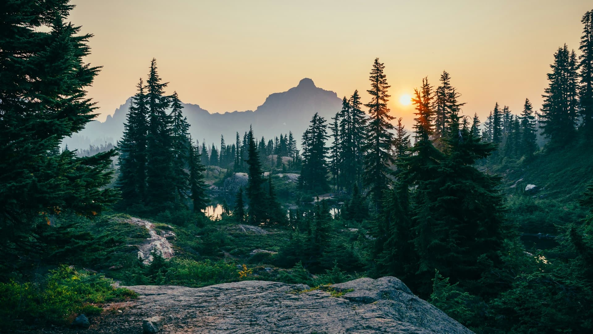
Short route
Entrago → Buyera
18 km
Downhill · 2 h by bike · Teverga branch + part of the main trunk. The most-booked one.
Plan your visit
The 3 possible routes, all the tunnels, the Molina bear enclosure and the free car parks. Browse, download the PDF or GPX for your GPS and plan your day before you come.
See the mapInteractive map
Click a route to highlight it and click a point below to zoom in. Toggle the side layers to show car parks, water fountains and restaurants.
Click to zoom to each point:
The 3 routes
All start from Entrago, all downhill. All include return transfer.
Short route
Downhill · 2 h by bike · Teverga branch + part of the main trunk. The most-booked one.
Full route
3 h · with detour to the Valdemurio reservoir. Extra scenery from the Quirós valley.
Full Y
5-6 h · for those who want the whole trail in a day. Return mixing car/bus.
Want to compare the 3 sections in detail? The trail sections
Points of interest
The same points you see above, with distance from Entrago (start of the downhill tourist route).
Entrago
Main access · our shop · 60 parking spaces
Valdecerezales tunnels
Dramatic stretch on the Teverga branch · limestone walls
Caranga
Y-junction · split to the Quirós valley
Peñas Juntas
Limestone canyon on the main trunk
Proaza
Village · 20 spaces · Bear House · restaurants
Molina enclosure
Viewpoint over the Bear Foundation’s enclosure
Buyera
End of the short route · picnic area
Tuñón
North access · 40 spaces · pre-Romanesque church
Valdemurio
Reservoir on the Quirós branch (with detour)
Santa Marina
End of the Quirós branch
* With detour to the Valdemurio reservoir from Caranga.
Free downloads
Two formats: printable A4 PDF or GPX for your GPS/navigation app. No sign-up, no email.
Printable PDF
For your GPS
💡 If you rent a bike with us, the printed map is included in the rental. We hand it to you in the shop before you set off.
Access
3 main options from Oviedo. Free car parks at all 3 access points. If you come by bus, four stops drop you right on the trail.
Full guideBy car
40 km · 45 min
A-63 + AS-228 to Entrago
By bus
~55 min
Regular line · 4 stops on the trail
By bike
34 km · 2.5-3 h
Vía Verde del Fuso + Nora corridor
Frequently asked
Quick answers to what people ask before downloading the PDF or GPX.
Need help?
+34 644 199 430Yes. We offer the map as a printable PDF (1 A4) and as GPX for GPS, both free with no sign-up. If you rent a bike with us, we also give you the printed map in the shop.
Yes. It’s a standard GPX file compatible with Garmin, Wahoo, Strava, Komoot, OsmAnd and any device or app that accepts tracks. It includes the 3 sections of the Y and all named waypoints.
Generally yes — good 4G coverage along most of the route. There are a few specific spots (inside long tunnels, deep parts of the Quirós branch) with weaker signal. We recommend downloading the map offline in Google Maps before setting off, just in case.
Yes, as of April 2026. We review distances, car parks and points of interest every year. If you spot something that’s changed, drop us a line.
Partially — Google Maps recognises the greenway as a cycle path but doesn’t have all the waypoints. For accurate planning, use Wikiloc, Komoot or our downloaded map.
Ready to come
Book without paying upfront. Free cancellation up to 24h before. We give you the printed map on arrival and the return transfer from Buyera is included.
Preferencias de cookies