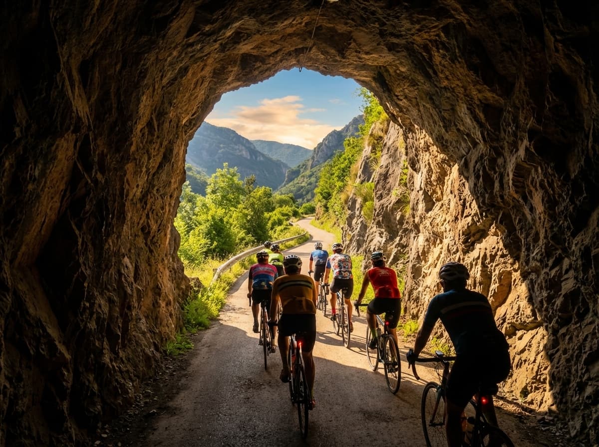
The full Bear Trail (Senda del Oso) is 35 km in a Y shape: main trunk Tuñón → Caranga (11 km), Teverga branch Caranga → Entrago (11 km) and Quirós branch Caranga → Santa Marina (14 km). The most popular tourist route is Entrago → Buyera (18 km downhill) and takes 2-3 h by bike with stops.
This guide gives the real distances of each section, elevation, cycling and walking times, and the distances between key points.
Total kilometres by branch
| Branch | Km | Usual direction | Elevation |
|---|---|---|---|
| Main trunk | 11 km | Tuñón ↔ Caranga | -150 m downhill |
| Teverga branch | 11 km | Caranga ↔ Entrago | uphill +100 m / reverse downhill |
| Quirós branch | 14 km | Caranga ↔ Santa Marina | -120 m |
| Full Y | 35 km | Total route | — |
Average gradient: 1.5% on every branch. Almost flat, although there is always a more comfortable “downhill” direction.
Distances between key points
From Entrago (our shop, start of the Teverga branch):
| Destination | Km | By bike | On foot |
|---|---|---|---|
| Caranga (junction) | 9 km | 35 min | 2 h 15 |
| Centre of Proaza | 15 km | 55 min | 3 h 15 |
| Buyera (Fernanchín bear enclosure) | 18 km | 1 h 5 | 4 h |
| Tuñón | 22 km | 1 h 30 | 5 h |
| Santa Marina (Quirós) | 25 km | 1 h 45 | 6 h |
The tourist route: Entrago → Buyera, 18 km
The most popular downhill route. Combines part of the Teverga branch (Entrago → Caranga) plus part of the trunk (Caranga → Buyera).
Hard numbers:
- 18 km downhill.
- Gradient: -2% on average (drops about 350 m total).
- Time: 2-3 h by bike with stops. 4-5 h walking.
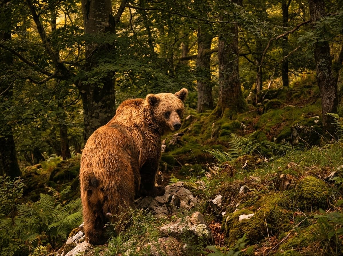
- Highlights: Valdecerezales canyon, Peñas Juntas canyon, centre of Proaza, Molina enclosure, Buyera.
Why this plan and not another: it starts at our shop, ends at a point with the return transfer included, and covers the main highlights in a manageable time.
Full route: Entrago → Tuñón, 22 km
If you want to ride to the northern end (Santo Adriano), it’s 22 km downhill.
- Time: 2 h 30 to 3 h 30 by bike with stops.
- Elevation: -400 m approximately.
- Plus over the tourist route: you add 4 km of the main trunk to Tuñón and the pre-Romanesque church of Santo Adriano.
- Cons: less common transfer pickup point (confirm at booking).
Long route via Valdemurio: Entrago → Buyera, 28 km
The official long version of the descent. Instead of going straight to Buyera, you take the Quirós branch as far as the Valdemurio reservoir and then loop back to Buyera: Entrago (km 0) → Caranga (km 9) → Valdemurio reservoir (km 15) → Proaza (km 26) → Buyera (km 28).
- 28 km in total, downhill on average.
- Time: 3 h to 4 h by bike with stops.
- Plus over the standard route: you add the Valdemurio reservoir, a good bird-watching and lunch spot.
- Same finish: Buyera, with the return transfer included.
Short route: Proaza → Tuñón, 6 km
The most family-friendly. From the main trunk, the centre of Proaza to Tuñón.
- Time: 45 min by bike · 1 h 30 on foot.
- Elevation: -100 m.
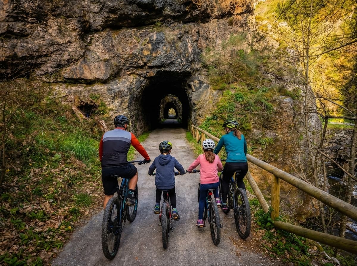
- Highlights: bear enclosure, long tunnels, pre-Romanesque church.
- Suitable for: first visit, small kids, school groups.
The full 35 km Y
If you want to ride the lot: trunk plus both branches. Total 35 km (one way) or 70 km return.
Intensive 1-day plan:
- Start: Entrago (06:30, with daylight).
- Teverga branch + trunk: Entrago → Tuñón (22 km, passing through Caranga).
- Quirós branch out-and-back from Caranga: Caranga → Santa Marina ↔ Caranga (28 km return).
- Total: about 50 km, 5-6 h by bike.
2-day plan (recommended for taking it slow):
- Day 1: Entrago → Tuñón (22 km, full downhill route with stops). Sleep nearby.
- Day 2: Quirós branch return (28 km), back to Entrago.
Elevation in detail
The Bear Trail is almost flat but has small variations. From most to least elevation change:
- Teverga branch: true downhill Entrago → Caranga at -100 m, then Caranga → Buyera at -250 m.
- Main trunk: -150 m (Tuñón → Caranga downhill, or the reverse).
- Quirós branch: -120 m (Caranga → Valdemurio downhill).
Average gradient on all: 1.5%. Suitable for anyone who can ride a bike.
Comparison with other Spanish greenways
To put the 35 km in context:
| Greenway | Km | Profile |
|---|---|---|
| Bear Trail (Asturias) | 35 | Y, 1.5% |
| Vía Verde del Pas (Cantabria) | 27 | Linear, flat |
| Vía Verde de la Sierra (Cádiz) | 36 | Linear, flat |
| Vía Verde de los Ojos Negros (Teruel) | 94 | Linear |
| Camino de la Mina (Palencia) | 40 | Branches |
The Bear Trail stands out for its density of highlights per km (canyons, tunnels, bear enclosure) rather than its length.
Our advice
“For a first visit, 18 km is plenty”. Don’t overcomplicate things with the full 35 km unless you ride regularly. The main highlights fit perfectly into 2-3 hours downhill.
“Save the Quirós branch for a second visit”. It has its charm but the highlights are on the trunk and the Teverga branch. Quirós is for people who come back.